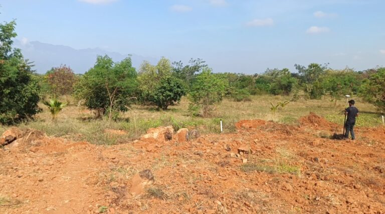
Contours and levelling form the foundation of any land development or infrastructure project. These surveying techniques provide critical information about the elevation and slope of a site, allowing engineers and planners to design effectively and minimize construction risks.
Contour surveys help identify the natural shape and features of the terrain, including hills, valleys, and slopes. This data is used to plan road alignments, drainage patterns, and earthwork balancing. Levelling, on the other hand, determines the height differences between various points on the land surface.
We prepare detailed contour maps at specific intervals depending on the site’s nature and project requirements. These maps are used by architects, civil engineers, and landscape designers to plan with confidence.
Centroid Engineers is trusted by construction firms, municipal bodies, and infrastructure developers for our reliable and timely service. Whether it’s for residential layouts, irrigation projects, roadways, or hill-area development, our levelling and contour surveys ensure that your foundation starts right. We follow all standard procedures and safety guidelines while working on-site.