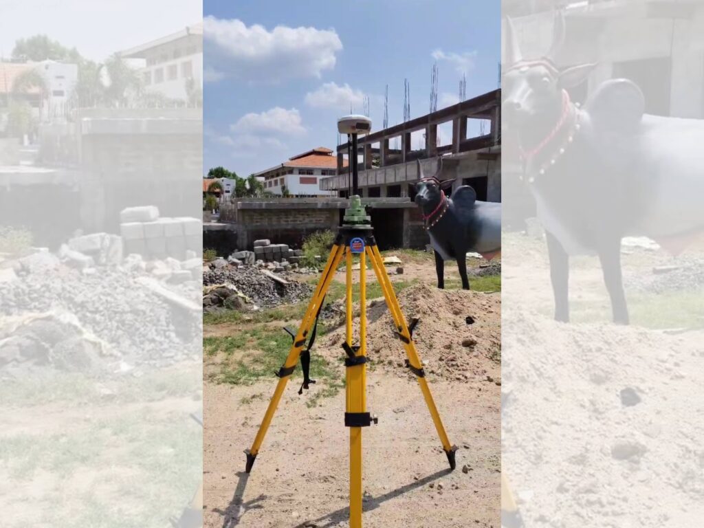
Topographic surveys are essential in modern construction and development projects. These surveys provide a detailed representation of the physical features of the land, including natural formations and man-made structures. At Centroid Engineers, our team specializes in delivering precise topographical data that serves as a reliable foundation for project planning, design,
and implementation. We use advanced surveying instruments and techniques to accurately capture elevation, contours, terrain conditions, vegetation, and surface features. This information is crucial for engineers, architects, and planners to make informed decisions, identify site constraints, and determine design feasibility.
Our topographic surveys help visualize the land in both two and three dimensions, enabling smooth integration into CAD and GIS platforms. The data also supports drainage studies, road design, site grading, volume calculations, and infrastructure alignment.
Whether the land is flat, hilly, urban, or rural, our experienced surveyors tailor the process to suit the specific needs of each site. We ensure the highest standards of accuracy, clarity, and compliance with local regulations.